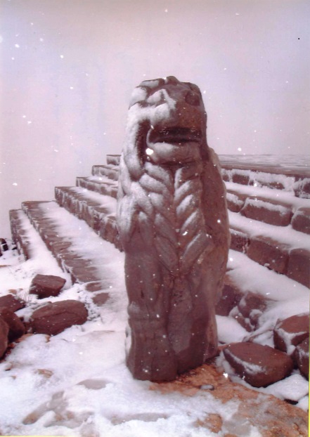
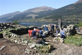
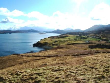
Author name: Acfa Editor

Ask the Experts: Archaeology Fact Finding Conference

On Saturday22nd March 2014, the SCAPE Trust is hosting an Archaeology Fact Finding Event in Glasgow. Designed for all those who have an interest in and take part in archaeology and heritage in a non-professional capacity, this one-off event will give you the opportunity to get up to speed with the incredible range of techniques, specialisms and services across the sector and meet the experts and practitioners face to face.

The day will be structured into 2 parts: short presentations throughout the morning and timed surgeries in the afternoon where you will be able to find out more about specific techniques and services, discuss project ideas and meet specialists and contractors.

The event will be held at the Western General Lecture Theatre and more information can be found at SCHARP’s website.

Scottish Coastal Heritage At Risk Project (SCHARP) Workshop

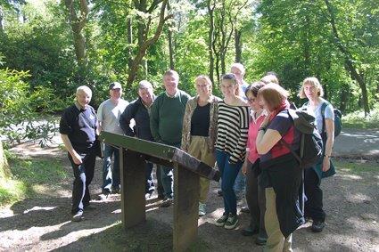
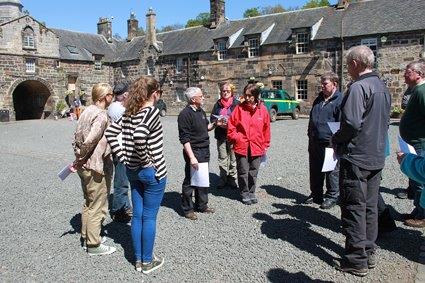
A group of ACFA members attended this interesting day which began with a classroom introduction to the website.  An interactive map gives access to the data from various coastal assessments with links to site records and the ability to view in satellite mode which gives a good view of your chosen site.  We were shown how to record changes to an existing record or report new sites.  The afternoon was spent on the southern shore of the Clyde under the Erskine Bridge learning how to use the smart phone app in the field.

Mavis Valley

In co
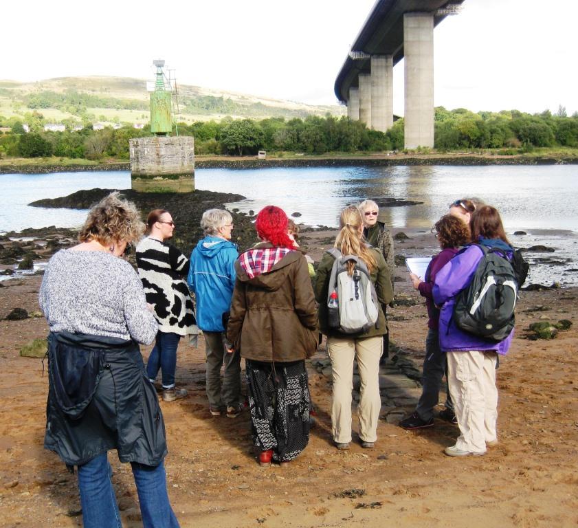
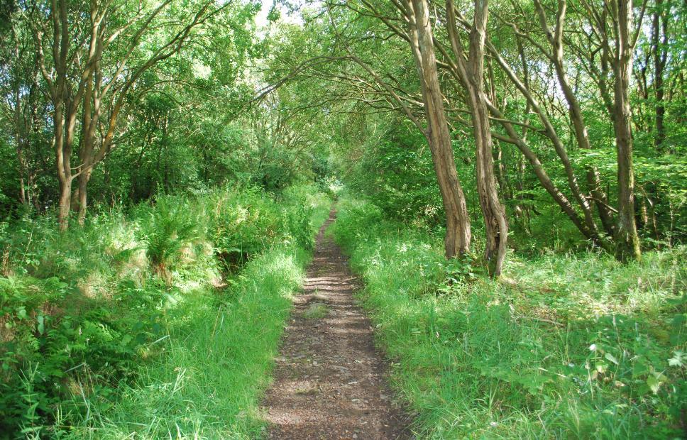
njunction with East Dunbartonshire’s commemoration of the centenary of a fatal fire in Cadder No 15 pit, ACFA carried out a survey of Mavis Valley, a mining village, which was home to six of the men who died.

The first houses were built around 1855 and the latest between 1900 and 1910.  The village was abandoned to squatters in the late 1940′s and finally demolished in 1955.  Later the site was used, and subsequently abandoned, as a tree nursery which made the survey particularly difficult, but we were able to identify some of the oldest houses and locate the position of the local co-operative society’s shop.

One group of houses was better built with a slate damp-proof course and decorative brickwork.  Behind them were steps up a bank to a raised area, possibly a drying green.  The bricks used for the latest houses were from several brickworks suggesting different construction dates.

Further work may be undertaken at another deserted mining village, Lochfaulds, and there is a possibility of excavation on one or more of these sites in collaboration with Glasgow Museums Outreach programme.


Survey Director: Carol Primrose

AGM 2013

The 26th Annual General Meeting of ACFA was held on Saturday Ocober 26.  There was a good turn out by members who enjoyed the opportunity to socialise once the business of the evening was finished.  They were delighted to welcome seven new associate members to their ranks.  Members also welcomed the news that the Certificate in Field Archaeology (Glasgow University Centre for Open Studies) is due to recommence in 2014.  A full report of the evening will appear in the next issue of the Newsletter.

Next Social event Saturday February 22 2014

Photography Competition 2013 Results

The winners of the 2013 ACFA Photography Competition announced at the AGM on Saturday October 26 were:

Archaeology in the UK: The Stones of Stenness by Janie Munro

Archaeology Abroad: The Lion in Winter (Nemrut Dag) by Jean Hirst

Humour: "Has anyone seen my parrot?" by Fred Hay

…and the winner of the ACFA Memorial Quaich was The Stones of Stenness by Janie Munro

About

The Association of Certificated Field Archaeologists (ACFA) was formed in 1987. Its membership comprises holders of the University of Glasgow Certificate in Field Archaeology, awarded by the Department of Adult & Continuing Education, now the Centre for Open Studies. The intention of the course was to teach adult students the basic principles of archaeological field survey and the importance of recording our cultural heritage of all periods.

The present Certificate in Field Archaeology is a two year modular course which aims to introduce students to the fundamentals of archaeological field survey and British, especially Scottish archaeology. Applications for membership of ACFA would be considered from holders of an equivalent qualification in Field Archaeology from other Universities.  Applications for associate membership would be considered from those who have demonstrated a level of experience and commitment to the practice of Field Archaeology.


What we do…

ACFA seeks to continue this work by undertaking field surveys in Scotland. The Association is willing to undertake non-commercial surveys at the request of private individuals, local community groups, Heritage and Local History societies etc. Members who participate in surveys do so in a voluntary capacity and ACFA does not charge for its services, but seeks grants and is willing to accept donations to offset costs. All surveys undertaken are recorded and the results published in our ACFA Occasional Paper Series, which is allocated an ISBN number and lodged with the Royal Commission for Ancient & Historical Monuments in Scotland and other public bodies. To date, ACFA has carried out over 100 surveys in Scotland in areas as widespread geographically as Sandwood in Sutherland, North Uist in the Outer Hebrides and Coalburn in South Lanarkshire.

A Practical Introduction to Field Archaeology

In conjunction with the Centre for Open Studies (Glasgow University), as a precursor to the 2-year Certificate in Field Archaeology, ACFA ran a 2-day training course in Pollok Park on 25/26May 2013.

Pollok Park

The optimum number of students for our resources was estimated at 15 divided into teams of three with a tutor for each team. Saturday began with a crash course in field survey with a useful ‘Idiot’s guide’ hand-out and a demonstration of tape offset in the lecture room. After a picnic lunch the group was led on a tour of the archaeological features of the park.

On Sunday, the groups of three were allocated a tutor and set to drawing one of the features.  At the end of the day the students returned to the lecture room for a winding up session. Responses were uniformly enthusiastic; students had learned that archaeology was not just about digging and they had begun to understand how to read landscape.

Pollok Park

High Morlaggan

High MorlagganACFA members contribute to other projects one of which is the Hidden Heritage project based on the area between Tarbet and Arrochar. 

This high profile community excavation has been organised by The Morlaggan Trust with Sue Furness and Fiona Jackson and with the assistance and supervision of professional archaeologists, Heather James, Claire Ellis and Roddy Regan.

The site, on the north-east shore of Loch Long and first recorded in the McFarlane manuscripts in AD1514 and consistently occupied until its abandonment by c.1916- is set in a a highly dramatic landscape of massive erratics, the visible ruins consisting of houses, enclosures and field systems.

An EDM survey of the site was carried out by ACFA members Ian Marshall and the late Bruce Henry.

The four week long excavations indicated the occupational complexity of use and interpretation which is now increasingly recognised in deserted settlement investigations.


Bute Landscape Project

Please contact Sue Hothersall for further information.

Survey Director is Sue Hothersall

Eaglesham Farm Project

After spending twenty years walking the farmlands of Eaglesham Parish, 17 Occasional Papers have been completed. The final paper concentrated on the central area of the village itself the ‘Orry’ and its cotton mill. These were enjoyable years and many friendships were formed with the local farmers. We trudged through rain, hailstorms and sleet but we also spent days under glorious sunshine. Features surveyed took in all periods from the Bronze Age through to the Post Modern. Burnt mounds, Bronze Age cairns, Bronze/Iron age enclosures, deserted ruinous steadings, industrial buildings through to the present day were among features found and surveyed. The initial reason for field-walking, and ultimately surveying many sites in the parish, was to record features on the land before they disappeared due to their proximity to the south side of Glasgow and encroaching development. Over the years the South Orbital Road has been built through part of the farmlands, bridges and buildings have disappeared and fortunately these have been recorded before their demise. The Occasional Papers record details of the earliest cartographic evidence, historical and genealogical evidence from the Poll Tax Rolls of 1695 and old farm Rental Records etc. Many of the farmers allowed us to use old family photographs showing farming practices and machinery used in earlier times. We are now attempting to bring this information together in a book bringing out the most interesting accounts of our fieldwork.


The survey was completed in 2011 with a final survey of The Orry including the cotton mill site. 

The survey directors are Susan and Robin Hunter.


Scroll to Top