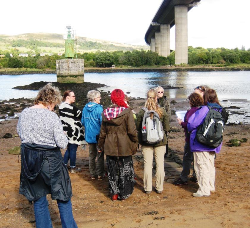
 A group of ACFA members attended this interesting day which began with a classroom introduction to the website. An interactive map gives access to the data from various coastal assessments with links to site records and the ability to view in satellite mode which gives a good view of your chosen site. We were shown how to record changes to an existing record or report new sites. The afternoon was spent on the southern shore of the Clyde under the Erskine Bridge learning how to use the smart phone app in the field.