 At the finish of the Raasay survey in 2009, the obvious next stage was to tackle the survey of Rona, to the north, with its close population links with Raasay in the 19th century.
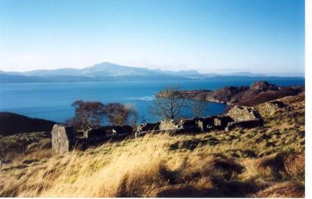
A decision was made to begin with a survey of the main settlement at Acarsaid Tioram, (Dry Harbour )and this was started in May 2010.
The Dry Harbour survey report is finished and published. Copies are available from the survey director, Wendy Raine. Price £8.00 +postage.
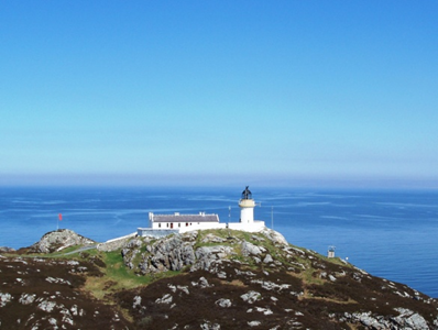
Am Braigh, the small short-lived township to the north of the island, near the lighthouse was surveyed in Spring 2013.
Wendy has now passed on the reins to a combined survey director team of Magaret Gardiner, Libby King and Ian Marshall.
Rona update Spring 2014
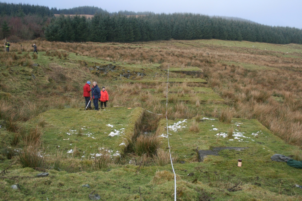
 In one of the best weeks enjoyed so far this spring, a team of nine returned to Rona, to complete the survey of the final township of Doire na Guaile in the far south of the island. As this involved a walk – in of almost an hour each day, it was planned that work and recovery days would be spaced out, and believed that with about 40 structures to plan at 1:100, we would we looking at a two year programme.
In the event, the unparalleled weather and the enthusiasm of the teams meant that the whole settlement was planned in three days, and some teams even returned for a fourth to extend the survey to a neighbouring tidal islet, and to survey some newer settlement revealed during the walks in.
Libby King, Margaret Gardiner and Ian Marshall were co-directors, Dr Heather James as photographer and ‘boldly – goer’, Richard Anderson, Sue Hothersall, Stuart McKey, Dugie and Anne McInnes. With the free days, parties returned to Braigh and the north tip of the island.
Good company and five days of glorious spring sun have encouraged discussion on a final return to mop up and eliminate some of the remoter bays and islets, as well as the environs of Acairseid Mhor in 2015.
 ACFA’s first report on a settlement in Raasay was published in 1995 and we returned annually (except 2001 – Foot & Mouth restrictions) until the final survey in 2009 . A group of volunteers surveyed for a week and each year teams recorded the remains of an abandoned settlement while others field walked the surrounding area recording what they found beyond the settlement boundaries. The archaeology on Raasay is plentiful and varied, ranging from the Mesolithic through the pre-historic and early historic periods to industrial archaeology connected to the early 20th century iron mines. The Association eventually completed the survey of the whole island to provide a record of life and land use through the millennia.
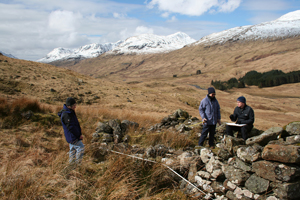 Since a survey was undertaken in 1990 of the deserted township of Tirai and the immediate surroundings in Glen Lochay, ACFA has continued to survey parts of the Glen as well as the village of Milton of Lawers on Loch Tay side. Recent work has focussed on high shieling sites.