The Association of Certificated Field Archaeologists (ACFA) was formed in 1987. Its membership comprises holders of the University of Glasgow Certificate in Field Archaeology, awarded by the Department of Adult & Continuing Education, now the Centre for Open Studies. The intention of the course was to teach adult students the basic principles of archaeological field survey and the importance of recording our cultural heritage of all periods.
The present Certificate in Field Archaeology is a two year modular course which aims to introduce students to the fundamentals of archaeological field survey and British, especially Scottish archaeology. Applications for membership of ACFA would be considered from holders of an equivalent qualification in Field Archaeology from other Universities. Applications for associate membership would be considered from those who have demonstrated a level of experience and commitment to the practice of Field Archaeology.
What we do…
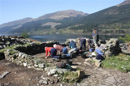
ACFA seeks to continue this work by undertaking field surveys in Scotland. The Association is willing to undertake non-commercial surveys at the request of private individuals, local community groups, Heritage and Local History societies etc. Members who participate in surveys do so in a voluntary capacity and ACFA does not charge for its services, but seeks grants and is willing to accept donations to offset costs. All surveys undertaken are recorded and the results published in our ACFA Occasional Paper Series, which is allocated an ISBN number and lodged with the Royal Commission for Ancient & Historical Monuments in Scotland and other public bodies. To date, ACFA has carried out over 100 surveys in Scotland in areas as widespread geographically as Sandwood in Sutherland, North Uist in the Outer Hebrides and Coalburn in South Lanarkshire.
 ACFA members contribute to other projects one of which is the Hidden Heritage project based on the area between Tarbet and Arrochar.
 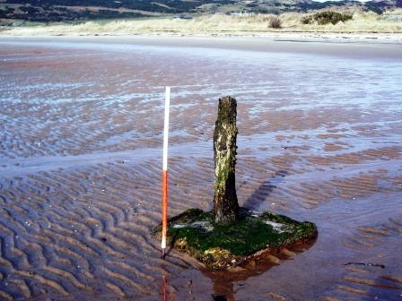 Please contact Sue Hothersall for further information.
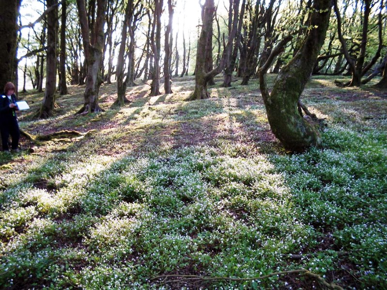 After spending twenty years walking the farmlands of Eaglesham Parish, 17 Occasional Papers have been completed. The final paper concentrated on the central area of the village itself the ‘Orry’ and its cotton mill. These were enjoyable years and many friendships were formed with the local farmers. We trudged through rain, hailstorms and sleet but we also spent days under glorious sunshine. Features surveyed took in all periods from the Bronze Age through to the Post Modern. Burnt mounds, Bronze Age cairns, Bronze/Iron age enclosures, deserted ruinous steadings, industrial buildings through to the present day were among features found and surveyed. The initial reason for field-walking, and ultimately surveying many sites in the parish, was to record features on the land before they disappeared due to their proximity to the south side of Glasgow and encroaching development. Over the years the South Orbital Road has been built through part of the farmlands, bridges and buildings have disappeared and fortunately these have been recorded before their demise. The Occasional Papers record details of the earliest cartographic evidence, historical and genealogical evidence from the Poll Tax Rolls of 1695 and old farm Rental Records etc. Many of the farmers allowed us to use old family photographs showing farming practices and machinery used in earlier times. We are now attempting to bring this information together in a book bringing out the most interesting accounts of our fieldwork.